
Bike Sharing A bike share program is a system of supplying bicycles for hire for point-to-point transportation. This program enables … More

Using big data to understand cycling in the urban environment.
Bike Sharing A bike share program is a system of supplying bicycles for hire for point-to-point transportation. This program enables … More

Efforts to develop indices that mark the bikeability of cities have been the focus of past research. Examples can be found here, … More
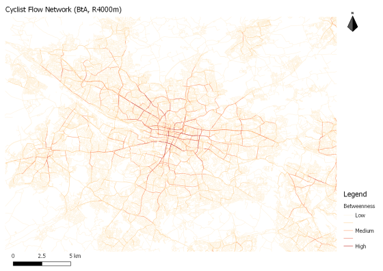
Two anaylses of Glasgow’s bike-ped network using sDNA.

This post explores the density of bicycle crashes in Glasgow between 2005 and 2014 and discusses safety implications

This study is intended to uncover differences and similarities in route preference between morning and evening bicycle commuter journeys as … More

This is the excerpt for a placeholder post.
